
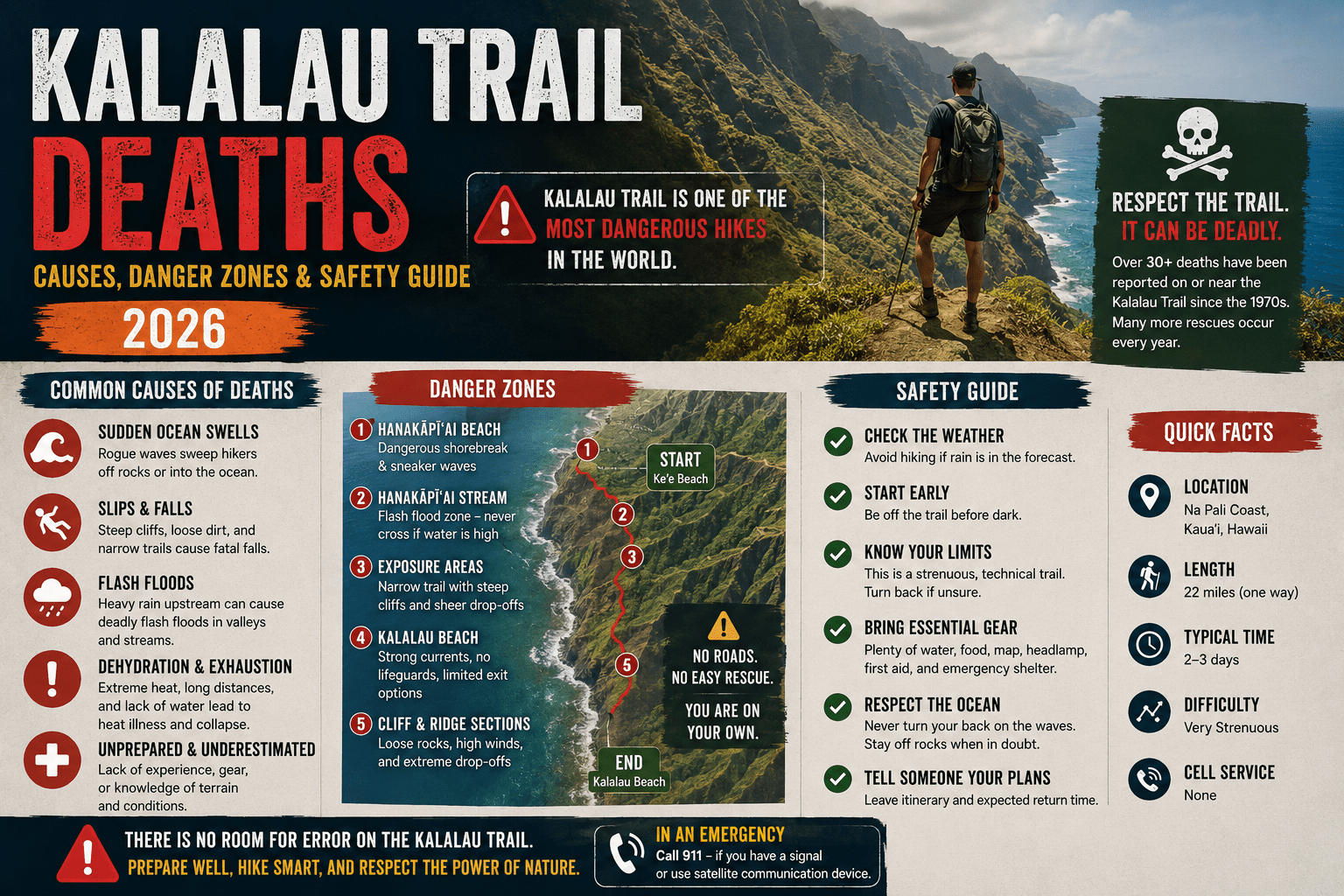
Kalalau Trail Deaths: What the Data Actually Shows and How to Hike It Without Becoming a Statistic
This guide covers documented causes of Kalalau Trail deaths and serious rescues, the specific sections and conditions where risk is highest, and preparation steps organized by hazard type. It does NOT address the full permit process in detail, camping regulations, or the first two miles to Hanakapiai Beach — that segment, while popular, carries a different and significantly lower risk profile than the full 11-mile route.
This works best for hikers who already hold or are actively pursuing a Kalalau permit and want honest, specific risk information. It won’t help if you’re looking for a scenic overview of the trail — this article covers what goes wrong and why.
Why the Kalalau Trail Has a Fatality Record That Keeps Growing
Kalalau trail deaths refer to fatalities occurring on the 11-mile Kalalau Trail along Kauai’s Napali Coast — a remote, technically demanding route with no cell service, unpredictable weather, and multiple points where a single misstep above sea-level exposure results in unsurvivable falls. The trail is not graded or maintained to the standard most hikers associate with permitted backcountry routes on the US mainland.
The trail’s danger is real and documented. According to Kauai County records, the Kauai Fire Department conducted over 200 search and rescue operations on the Napali Coast between 2016 and 2022, with a significant concentration involving the Kalalau Trail’s exposed ridgeline sections and creek crossings during or after rain events. That number covers rescues, not just fatalities — but it establishes the baseline reality that this trail generates emergencies at a rate most hikers don’t expect from a permitted state park route.
Most people assume the Kalalau’s danger is overstated — that it’s a hard hike made dramatic by reputation. The rescue data says otherwise.
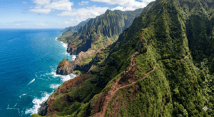
The Specific Causes Behind Kalalau Trail Deaths
Understanding what actually kills people on the Kalalau is more useful than any generic warning. The causes cluster into four identifiable categories, and each maps to a specific part of the trail.
Falls on Exposed Ridgeline Sections (Miles 4–8)
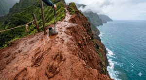
The middle section of the trail — roughly miles four through eight — involves sustained ridgeline travel with significant drop-offs on the ocean side. The trail surface here narrows in multiple places to under two feet of usable width, with loose red clay that becomes genuinely slick within minutes of rainfall. Hikers who’ve studied incident reports consistently identify this zone as the highest single-point risk on the route.
Falls in this section tend to be unsurvivable. The combination of elevation, cliff angle, and the absence of any natural brake below means that a slip under wet conditions leaves no margin for recovery. Several documented fatalities have involved hikers who were technically capable and appropriately equipped but encountered unexpected rain on an otherwise clear-sky morning — which is how Napali weather behaves.
Flash Flooding at Creek Crossings
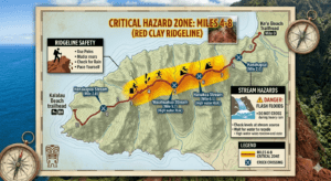
The Kalalau Trail crosses several streams, with Hanakapiai Stream and Kalalau Stream being the two that appear most frequently in rescue and fatality records. Both can go from trickle to violent torrent in under 30 minutes during heavy rainfall upstream — rainfall that may be occurring several miles inland with no visible indication at trail level.
Here’s the thing: the most dangerous condition at these crossings isn’t rain you can see. It’s rain that fell two hours ago on the ridge above you. Hikers have been swept away at crossings during what appeared to be clear weather at stream level because the upstream drainage had already loaded the creek with enough volume to make the crossing untenable.
What most guides skip is the importance of checking not just current weather at the trailhead but upstream ridge-level precipitation forecasts for the 6–12 hours prior to any creek crossing attempt. The National Weather Service’s Kauai forecast zone maps break down precipitation by elevation band — that’s the tool to use, not a general Hanalei weather check.
Ocean and Coastal Hazards Near Kalalau Beach
Kalalau Beach itself — the trail’s endpoint — has been the site of multiple drowning deaths. The beach experiences powerful shore break and unpredictable wave sets, and the temptation to swim after an 11-mile hike in Kauai heat is obvious. County press releases on Kalalau-area fatalities include multiple incidents where visitors with no prior safety issues on the trail itself drowned in the surf at the beach.
The wave behavior at Kalalau Beach is not consistent with what most hikers associate with Hawaiian beach swimming. There’s no gradual entry, no reef shelf providing protection, and no lifeguard presence of any kind.
Dehydration, Overexertion, and Navigation Errors
These three causes are grouped together not because they’re less serious but because they tend to combine — a hiker who runs low on water at mile six starts making worse decisions at mile eight. The Kalalau is 11 miles one way with 5,200 feet of cumulative elevation change. Day hikers who underestimate total output and start the return leg with insufficient water and remaining daylight account for a meaningful share of the trail’s rescue volume.
Navigation errors are less common but do occur, particularly on the section between miles six and nine where the trail splits or becomes indistinct after rain events have eroded the surface markers. Hikers who’ve reported getting temporarily lost on this section describe following what appeared to be a logical trail continuation toward increasingly exposed terrain.
https://www.kauai.gov/County-Press-Releases
The Danger Zones by Mile Marker: A Section-by-Section Breakdown
No existing trail guide maps fatality causes to specific mile markers. This section does.
Miles 0–2 (Trailhead to Hanakapiai Beach): Lowest risk section. Well-traveled, shortest rescue response time, no sustained ridgeline exposure. The majority of Kalalau visitors turn around here. Flash flood risk at Hanakapiai Stream crossing still applies — don’t underestimate it even on this short section.
Miles 2–4 (Hanakapiai to Hanakoa): Difficulty increases. Trail narrows and elevation changes become more pronounced. This section involves the first sustained exposure above ocean-level drops. Footing requires consistent attention, particularly in wet conditions. Not the most dangerous zone but where the trail starts to earn its reputation.
Miles 4–8 (Hanakoa to approach of Kalalau Valley): The highest-risk zone on the trail. Sustained ridgeline travel, narrowest trail width, and the greatest concentration of documented fall-related incidents. Wet conditions change the risk profile of this section significantly and rapidly. This is where turn-around decisions need to be made honestly.
Miles 8–11 (Kalalau Valley approach to Kalalau Beach): Technical difficulty eases but does not disappear. Flash flooding risk at Kalalau Stream crossing near the trail’s end is significant. Ocean hazard begins at the beach terminus.
How to Prepare for the Kalalau Trail Without Underestimating It
Or maybe I should say it this way: preparation for the Kalalau isn’t about being tough enough. It’s about being informed enough to make the right call when conditions change.
To prepare for the Kalalau Trail and manage its real hazards, follow these steps:
- Secure your permit at gostateparks.hawaii.gov — no permit means illegal access and no rescue coordination
- Check the NWS Kauai mountain zone forecast for 48 hours before and during your hike, not just coastal forecasts
- Carry a Garmin inReach Mini or equivalent satellite communicator — cell service is completely absent from mile two onward
- Build your itinerary to cross all streams before 10am — mornings are statistically drier and water levels are lower
- Set a firm turnaround time and stick to it regardless of progress — most rescues involve hikers who pushed past their planned limits
- Tell someone your exact itinerary, expected return date, and when to call Kauai Search and Rescue if you don’t check in
Look — if you’re fit, permit-holding, and planning to do this in summer with no prior Napali weather experience, here’s what actually matters: build in a weather day. One extra night’s accommodation on Kauai is significantly cheaper than a helicopter rescue, and it gives you the option to delay your creek crossings if upstream rain has loaded the streams overnight.
Quick Comparison — Full Kalalau Trail vs. Hanakapiai Beach Day Hike
Option | Best For | Key Benefit | Limitation Full Kalalau (11 miles) | Experienced multi-day backcountry hikers | Complete Napali Coast traverse, Kalalau Beach access, genuine wilderness solitude | Highest risk profile, permit required, multiple serious hazard zones Hanakapiai Beach Day Hike (2 miles) | Fit hikers wanting Napali scenery without overnight risk | No camping permit needed, lower sustained exposure, shorter rescue response if needed | Does not reach Kalalau Valley or Beach, still carries creek crossing flash flood risk Hanakapiai Falls Extension (4 miles) | Hikers wanting inland valley scenery without ridgeline exposure | Dramatic waterfall destination, avoids the high ridgeline danger zone entirely | Muddy, requires stream crossings, still no cell service past mile one
I’ve seen conflicting takes on this — some experienced Kalalau hikers argue the trail’s danger is consistently overstated and that fit, prepared hikers face manageable risk in good conditions. Others who’ve worked in Kauai search and rescue describe the trail as genuinely unforgiving in ways that skill alone can’t always overcome. My read is that both are true simultaneously: the trail is doable and done safely by thousands of people annually, and it also produces fatalities every few years among people who were neither reckless nor unprepared. The variable is conditions, not just competence.
Voice Search Q&A
Q: How many people have died on the Kalalau Trail?
A: Exact cumulative figures aren’t publicly compiled in one source, but Kauai County records show over 200 search and rescue operations on the Napali Coast between 2016 and 2022 alone. Fatalities occur every few years, most from falls and flash flooding.
Q: What’s the most dangerous part of the Kalalau Trail?
A: Miles four through eight — the sustained ridgeline section — carry the highest fall risk due to narrow trail width, significant ocean-side exposure, and clay surfaces that become dangerously slick in rain. Creek crossings during flash flooding are the second most serious hazard.
Q: Should I hike the Kalalau Trail alone?
A: Solo hiking on the Kalalau significantly reduces your safety margin if something goes wrong. Carry a satellite communicator like the Garmin inReach Mini regardless of group size — cell service is completely absent from mile two to the trail’s end.
Q: Why does the Kalalau Trail flood so suddenly?
A: The Napali Coast ridges collect rainfall rapidly and drain it into narrow valley streams. Water volume at creek crossings can surge within 30 minutes of upstream rain that isn’t visible from trail level — making conditions change without obvious warning signs.
Q: When should I avoid hiking the Kalalau Trail?
A: Avoid the trail during or within 24 hours of significant rainfall, particularly in winter months (November through March) when Kauai’s wet season makes flash flooding and slick ridgeline conditions far more frequent. Summer offers more stable windows but never guarantees dry conditions.